Mapping
Welcome to Marion County Mapping Sources
**Data Access and Usage Agreement**
Please Read Carefully
Marion County makes every effort to produce and publish the most current and accurate information possible. This information is furnished as a public service. The information must be accepted and used by the recipient with the understanding that the data was developed and collected for the purpose of developing property valuations. Marion County assumes no liability whatsoever associated with the use or misuse of such data, and disclaims any representation or warranty regarding the completeness or accuracy of the data.
Below describes what you will find behind each link.
ORKA (Open Records for Kansas Appraisers) is a property information website provided to counties by the State of Kansas with optional GIS mapping hooks. ORKA is State of Kansas Data access and support center (DASC) collaboration with the Kansas Department of Revenue. DASC catalogues, archives, and distributes databass with FGDC compliant metadata and direct FTP access. ORKA is an open-source website application for displaying property information that meets a contractual agreement made during the Orion appraisal property software transition between the Kansas Department of Revenue an Kansas Counties. At DASC, each county's appraisal databass is updated every two weeks. Mapping data updates are determined by each county.
- Marion Co. ORKA Parcel Maps
- State of Kansas ORKA Mapping Link
- Ready-to-Print Maps
- Marion County Parcel Search
- Marion County Tax Search
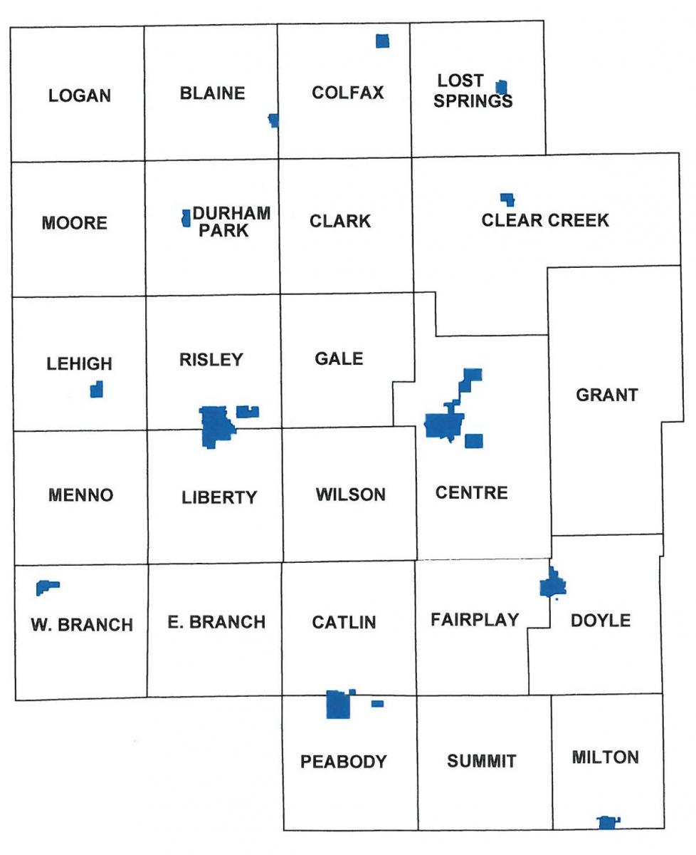
Marion County Township Map